Order the data you need.
Choose any location on Earth and specify the area, dates, resolution, and measurements you need. Find suitable archive data or request a new collection, with the quote and delivery terms in view.
Explore data acquisitionYour AI assistant for GIS tasks
Choose any location on Earth. Request satellite imagery and geospatial data to your requirements, then put it to work with your GIS agent. Analyze data and build custom apps in plain language, without a GIS or coding background.
Order data, complete an analysis, or create an app. Each is a useful outcome on its own.
“What’s
changing
here?”

01 / Satellite data acquisition
Order satellite and geospatial data for the location you choose, across the dimensions your work needs. Specify the area, dates, level of detail, and measurements. Get help finding the sources that fit.
Start with open Earth observation data, existing archive imagery, or a request for a new satellite collection. Share your requirements so the Milkypad team can review suitable sources and delivery options with you.
Explore data acquisitionYour acquisition brief
The grid illustrates requested detail. Colors and boundaries are drawn examples, not measured observations.
Coastal study area · April + June · 10 m requested · Optical
Illustrative controls only. No live search, source availability, analysis or order is running. Grid spacing is schematic; sensor and resolution combinations need a suitability check.
Acquiring data is a complete use of Milkypad. Take eligible data into your own tools, or continue with analysis and app building here.
Available products, collection feasibility, price, license, and delivery terms are confirmed for your request before an order.
FIG. 02 — AI FOR GIS ANALYSIS
Describe your GIS task to an AI assistant: compare a coastline, plan a field inspection, or review urban green space. Explore these prepared examples to see the maps, records, and results behind each workflow.
A coastal team preparing a field visit

Schematic sites · background imagery is contextual
Usable observations in the sample period
Missing observations remain visible. A count of zero is not evidence of no change.
Count of synthetic usable observations · 0–5
| Site | Usable observations | Review status |
|---|---|---|
| 4 | Review suggested | |
| 3 | Review complete | |
| 0 | Insufficient data |
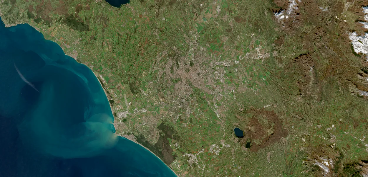
These names, review states and counts are invented to demonstrate the experience. This preview does not run an analysis or report conditions at the places in the photographs. Background: Rome and the Tyrrhenian coast, Italy. Image credits.
A land team organising its next monitoring round

Schematic sites · background imagery is contextual
Usable observations in the sample period
Missing observations remain visible. A count of zero is not evidence of no change.
Count of synthetic usable observations · 0–5
| Site | Usable observations | Inspection status |
|---|---|---|
| 3 | Review suggested | |
| 5 | Review complete | |
| 0 | Insufficient data |
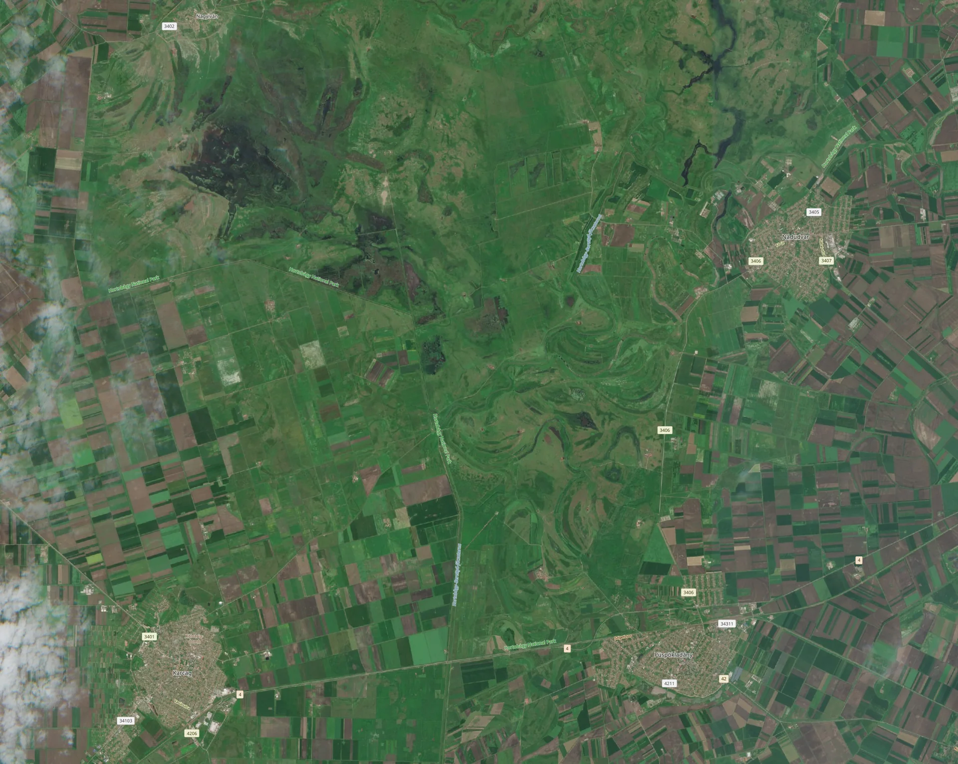
These names, review states and counts are invented to demonstrate the experience. This preview does not run an analysis or report conditions at the places in the photographs. Background: Grasslands and crop fields near Püspökladány, Hungary. Image credits.
A planning team organising evidence by site

Schematic sites · background imagery is contextual
Usable observations in the sample period
Missing observations remain visible. A count of zero is not evidence of no change.
Count of synthetic usable observations · 0–5
| Site | Usable observations | Review status |
|---|---|---|
| 2 | Review suggested | |
| 4 | Review complete | |
| 0 | Insufficient data |
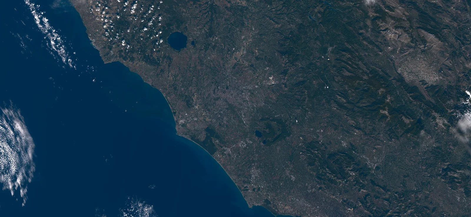
These names, review states and counts are invented to demonstrate the experience. This preview does not run an analysis or report conditions at the places in the photographs. Background: Rome, Italy. Image credits.
FIG. 03 — YOUR INTERACTIVE WORKBENCH
Ask for the maps, filters, charts, and actions you need. Try the controls in this prepared field dashboard preview.
Reuse a useful workflow.
Return to it for the next site.
SATELLITE LAYER / EXAMPLEA prepared vegetation comparison for inspection planning.
Take a closer look at the east boundary.
YOUR LOCAL KNOWLEDGEInteractive design example. Settings change this preview only; no app is published and no live analysis runs.
Satellite view and analysis overview are included.
Acquire. Analyze. Build.
Get the data you need, complete an analysis, or create a reusable app. Each is a useful outcome on its own. Milkypad brings them together when your work needs the whole workflow.
Choose any location on Earth and specify the area, dates, resolution, and measurements you need. Find suitable archive data or request a new collection, with the quote and delivery terms in view.
Explore data acquisitionDescribe what you want to compare or measure. Your AI assistant helps with the GIS tasks, from preparing geographic data to producing a map, chart, table, or report.
Explore GIS analysisAsk for the maps, filters, charts, and actions you need. Build and customize a GIS app around your data without writing the software yourself.
Explore App BuilderReturn to your results, compare another site, or give colleagues a tool they can use directly. Keep a useful workflow instead of rebuilding it each time.
Explore your workspaceBUILT FOR PEOPLE WHO KNOW THEIR WORK
You know the fields, sites, or projects that matter. You should be able to investigate them without first learning how to process imagery or develop GIS software.
Milkypad brings data acquisition, AI-assisted analysis, and custom app creation into one workflow. Our goal is to help more people complete geospatial work themselves and reuse it with their teams.
Why we’re building MilkypadBefore you get started
Find and order satellite and geospatial data, ask questions about it, run an analysis, or build a custom app. You can come just for the data, compare a site across dates, prepare a report, or create a dashboard for reviewing several locations.
Choose any point or area for your request, then specify dates, spatial detail, sensor or spectral measurements, and the coverage you need. The Milkypad team reviews your requirements for suitable archive imagery or new satellite collection options. Available products, collection feasibility, price, and delivery terms are confirmed for the location and request before an order.
No GIS or coding background is needed to get started. GIS means geographic information systems: tools for mapping and analyzing location-based data. Describe your task and provide the location or data. The AI assistant helps translate your question into data preparation, analysis, and app-building steps. Your knowledge of the problem remains essential when interpreting the result.
Yes. Getting the data you need is a complete use of Milkypad. You do not need to run an analysis or build an app. Use eligible delivered data in your own tools, or continue working with it in Milkypad under the source’s license.
No. Acquiring data, getting an answer, or producing an analysis, map, or report can complete the task. Build an app when you want to repeat the work or let other people use your data and results through a simple interface.
Explore the interactive examples, share a satellite data request, or request early access for your GIS task. The team will follow up about suitable data and platform access. Website examples use prepared data; they do not run live analyses or place data orders.
Combining satellite observations with your own boundaries, site records, and other geographic data is central to Milkypad. Tell us what you use today when requesting early access; supported formats and sources will be confirmed for each released workflow.
Review our proposed Free, Individual, Team and Business plans, with different module access and usage allowances. Data orders and one-off analyses are quoted separately; a subscription is optional for those requests. Final offers will be confirmed before purchase. Compare plans and module access ↗
Earth data for people
Tell us the location and satellite data you need, the GIS task you want help with, or the custom app you would like to build. Start with a request for your work.